

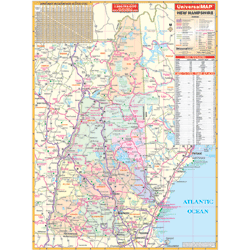
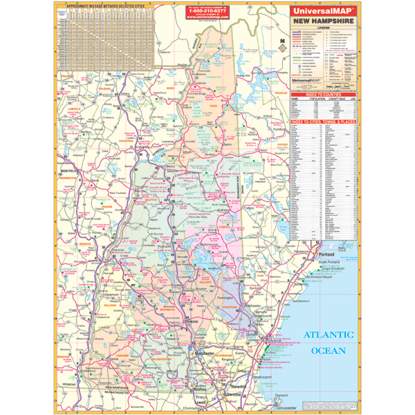
The first edition State of New Hampshire Wall Map measures 40” W x 53” H at a scale of 1” = 3.3 miles. Provides a laminated surface that is both markable and washable. Includes hanging rails mounted top and bottom. Indexed on the face of the map.
Features a mileage chart between major cities; indexing of counties, cities, town, and places of interest; and also color-coded counties.
Details include all state/federal/toll highways, major waterways, military installations, ski areas, state universities, rest areas, major airports, cities/towns, state parks, exit numbers, and points of interest.