

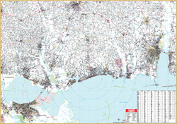
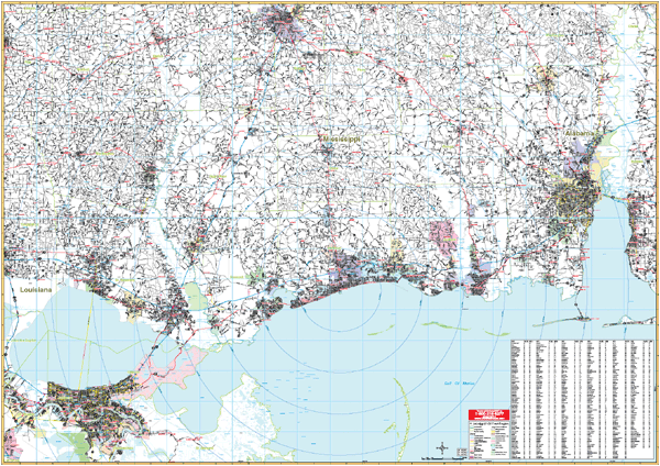
The 1st edition Mississippi Gulf Coast and Vicinity Wall Map measures 76” x 54” with up-to-date cartography at a scale of 1” = 2.2 miles. Printed in color with a markable/washable-laminated surface. Cities indexed on the face of the map. Contains hanging rails mounted top and bottom.
Area of Coverage: The Gulf of Mexico coastal area from Mobile, Alabama to New Orleans, Louisiana with the following boundaries: North: to include Hattiesburg, MS; South: to the Gulf of Mexico; East: to include Mobile, AL; West: to include New Orleans, LA.
Map details include all highways/interstates, mileage circles, ZIP code numbers/boundaries, airports, longitude/latitude lines, water features, city limits/annexations, and state parks