

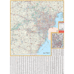
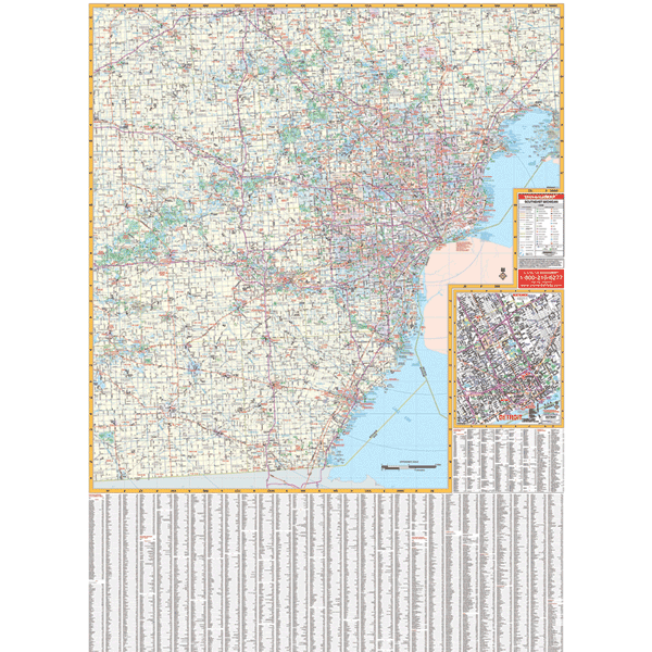
The 3rd edition railed Southeast Michigan Wall Map shows Livingston, Macomb, Monroe, Oakland, Washtenaw, and Wayne.
Features all national interstates, U.S./state highways, all principal county and municipal roads in detail, airports, government buildings, shopping centers, golf courses/country clubs, mileage circles, city limits/annexations, railroads, fire/police stations, hospitals, block numbers, educational facilities, ZIP codes/boundaries, recreational parks, water features, longitude/latitude lines, and more.
Measures 46 by 64 inches using up-to-date cartography at a scale of 1" = 1.65 miles. Printed in color with a markable and washable laminated surface. Cities indexed on the face of the map.